
Geofencing
Geofencing is a term that refers to polygonal boundaries defined in a geographical map. It is a handy feature in Tracetracker Asset that allows one to monitor transits of assets and tools as they are moved around.
It only requires a periodic geo-location update and Asset will calculate whether the point has entered or left the boundary.
Creating a Geofence
- Go to 'Geofencing' and search for the specific asset to set geofences for

- Select the given asset and click 'New'
- Draw your boundary and enter a name for it
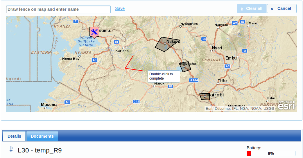
- Click save to update. More boundaries may be added in similar manner
Clearing boundaries
- Follow step 1 above and choose 'Clear all'.
- All boundaries shall be cleared and notifications concerning the specific asset will cease to be sent
Receiving notifications
It is very easy to let Asset notify you on transits made by the tools/assets being monitored.
Simply go to Notifications and ensure your mobile number and e-mail address is correctly entered, then chose the method of notification.
See Notifications documentation to learn more about setting up your notification preferences.